

PROTECT YOUR DNA WITH QUANTUM TECHNOLOGY
Orgo-Life the new way to the future Advertising by AdpathwayThe team at onX Maps just released a new web tool to help visualize where proposals related to public lands have open comment periods. The accompanying page also goes into great detail about how to understand the cadence of agency actions and how to make your comments effective. Read below for more…
Released yesterday, the onX Maps Public Land Comment Hub aims to make it easier than ever for people to see federal public lands currently open to public comment. It also makes it easier than ever to comment on specific proposals. Several sections of the hub give users a well-rounded understanding of virtually every facet of the decision-making process that impacts U.S. public lands managed by the Bureau of Land Management, United States Forest Service, National Park Service, and U.S. Fish and Wildlife Service. Together, these agencies are responsible for over 673 million acres of public land across all 50 states. What’s unique about the Public Land Comment Hub is how it incorporates various features to help visualize the impacted areas and educate the public about what some of these proposals mean. It’s one of the most powerful tools we’ve seen for the public to get involved in these issues.
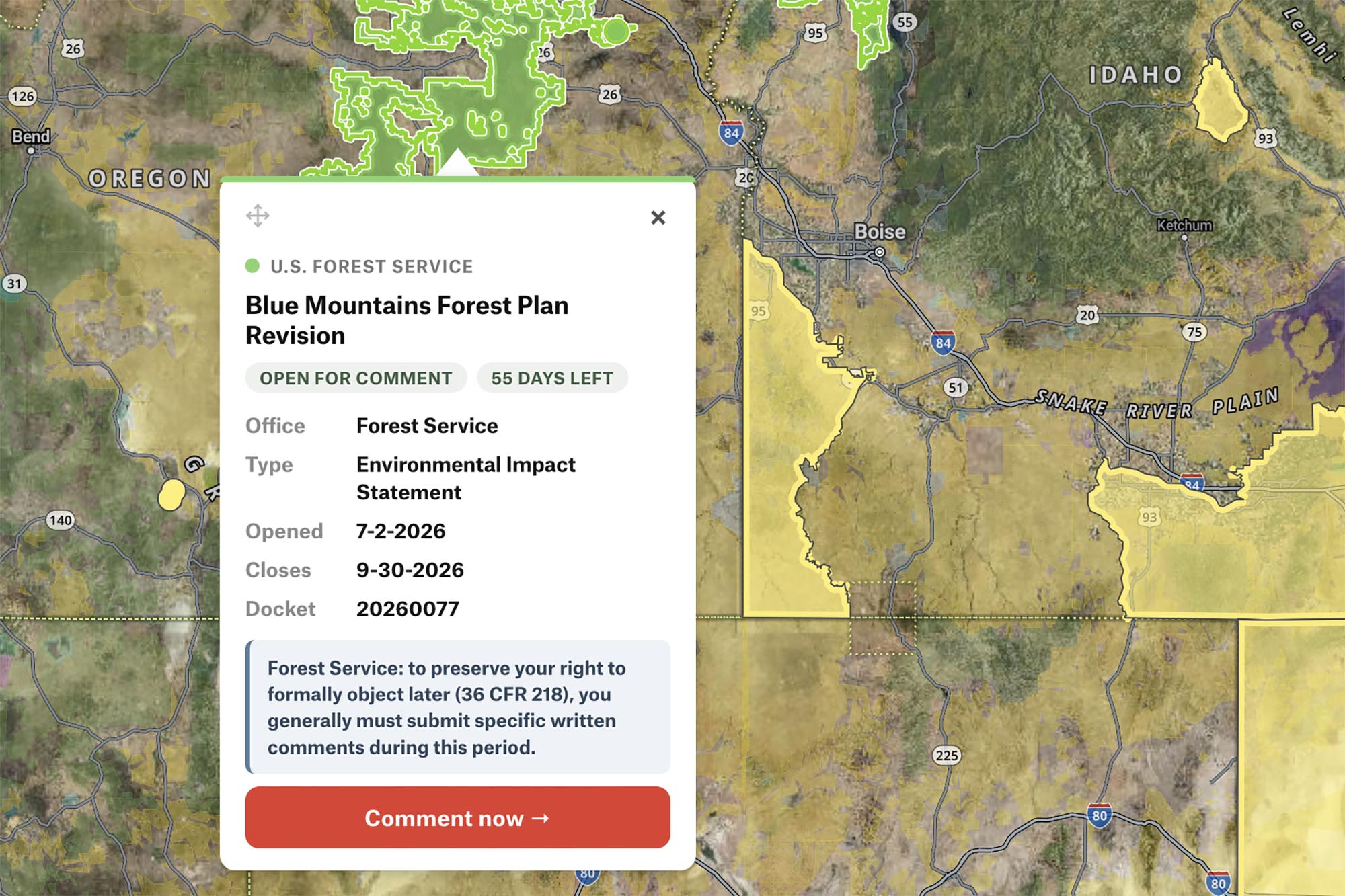
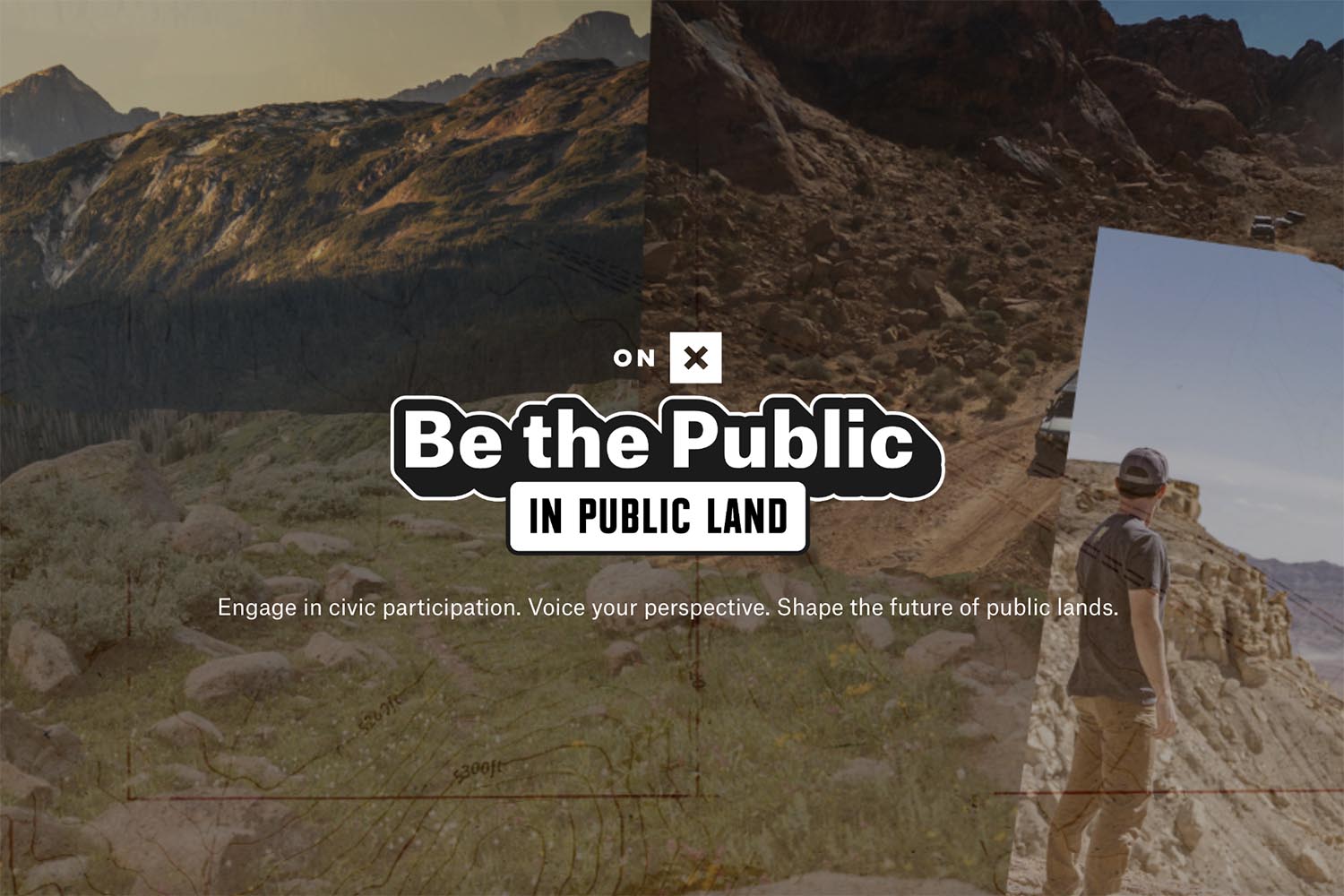
The first section of the hub dives into what public comments are in the context of public land decision-making. If you’ve never understood what a comment period is or why we have them, this is a great place to start. Next up is probably the most exciting part of the hub: the Public Land Comment Map. This allows users to see the areas where specific agency decisions will have an impact. It can really spur a different level of understanding when you see a marker on a map that overlaps with somewhere you care about. If you click on a specific highlighted area of the map, you can head to the official page to submit a comment directly to the agency. There are also agency-wide decisions that cover many administrative actions that affect broad and tactical elements of how agencies do their job in relation to specific laws, rules, and focus areas. Read below to understand how onX aggregates agency-wide and location-specific data for you to use.
A Map of Public Comments, for the Public
Instead of searching multiple agency websites, sifting through hundreds of pages of government documents in search of static maps, and navigating government jargon, you can quickly see on the map above which proposals may impact the lands you hunt, fish, ride, climb, camp, and explore.
Our Approach
Every open comment period on the map is tied to a location, but not every government notice comes with the same level of geographic detail. To give you the most useful location information possible for every comment period, our system checks several geographic resources and uses the best one it can find:
First, the system looks for a map of the exact project area. If the agency published geographic data or a format-compatible map with the public notice, that’s what you’ll see on our map, and you’ll need to zoom in to see these specific locations. If specific site data wasn’t provided in the public notice, the area is represented on our map as the boundary of the office or unit in charge of the decision. That means the area of the national forest, wildlife refuge, national park, or the BLM field or district office responsible for each proposal. This is a broader yet still accurate view showing where a decision will apply.
Agency-wide proposals are listed below the map, rather than showing as areas on the map. This is because agency-wide rules apply broadly.
In short: the locations you see on the map are always the most specific areas our system could find for each public comment period.
I noticed that more areas were showing up even as I wrote this article, so the system seems to be constantly pulling in open comment periods as they are published. But before you jump straight to the comment button, keep reading through the hub, because there’s a lot to understand before writing a response. As with any government process, there are tons of similar-sounding steps in the environmental review process to understand, timelines to consider, and loads of acronyms to learn. You’ll find all of this in the Acronym Glossary and the section titled Types of Plans and Proposals on the Map.
Although the map is the headline-getter, one of the best parts of this new hub is the educational component about how to make your comments effective. Many other organizations create pre-written templates that make it easy for people with a shared opinion to submit a comment with a specific point of view. Unfortunately, these kinds of comments are lumped together and often go unconsidered by the agency because they do not meet the requirements for comments that the agency must rely on when choosing a next step.
Whether you love interactive maps, visual aids, or nerding out on public policy, there’s something for you on the Public Land Comment Hub. Explore it at onXMaps.com
Further Reading
Make sure to dig into these related articles for more info...
Please keep the conversation civil, constructive, and inclusive, or your comment will be removed.
















 English (US) ·
  French (CA) ·